Riley's Chauffeurs on Departure Day

Saturday, August 27, 2011

Mountain "peeks", a super-sized igloo & Berry Pickin'

Our Florida to Alaska trip's final leg, (as we passed Denali Park) did not give us very clear skies, but the clouds broke, allowing some dashes of sun, and some of the beauty seen within a few miles of the interpretive center was revealed to us.

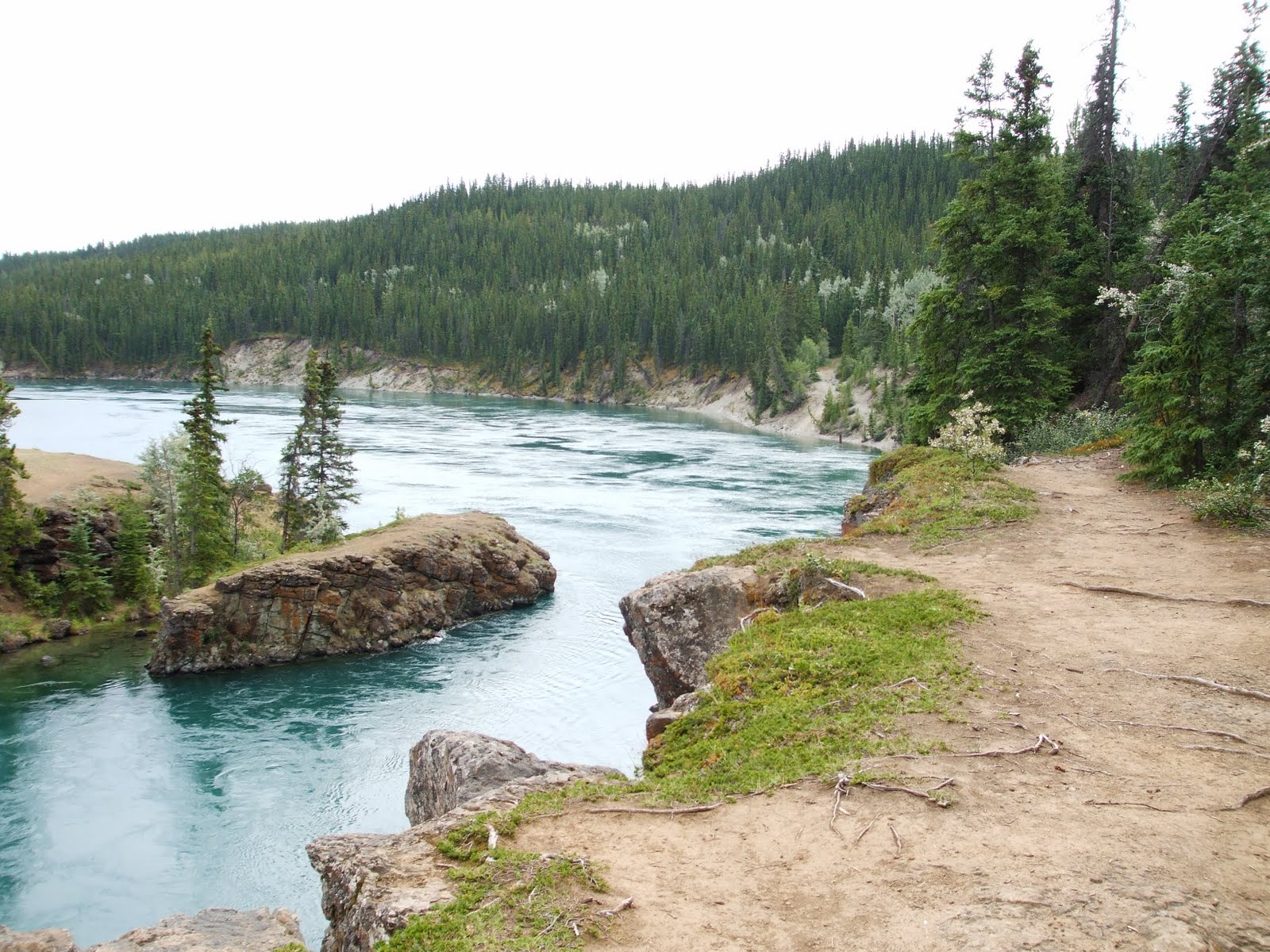
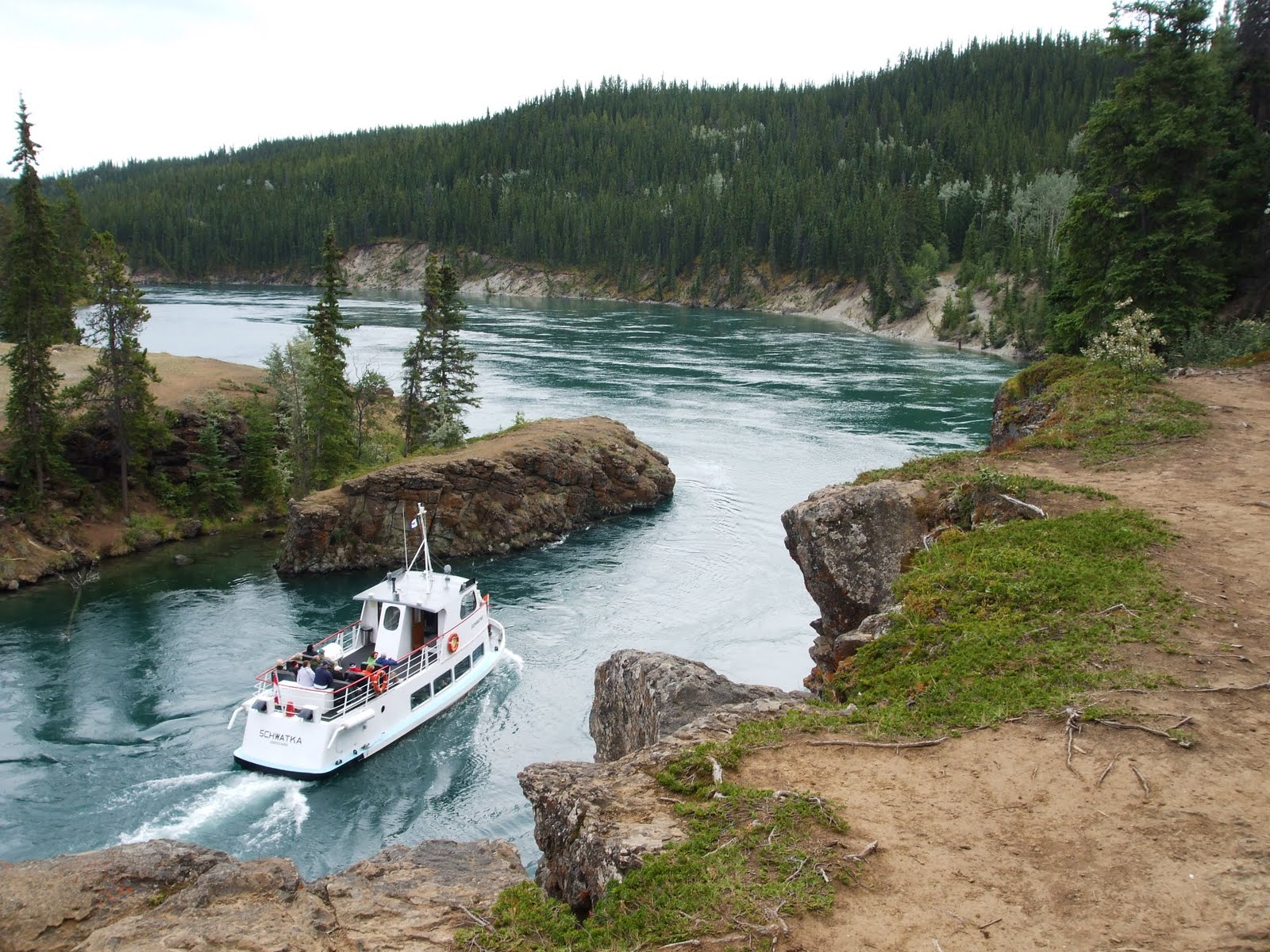
 We decided that we'd save the deeper 4-hour bus tour (required to see the interior of the park) for clearer weather, (if we are lucky later this fall). But for now, here are some mountain shots originating near Denali, and a few more, as we worked our way southwards toward Anchorage.


Reddish flora is called Fireweed... very common in Alaskan photographs.

As you'll see below, even Alaska is not without oddities from the 1970s. Somebody, at one time, invested in their dream of creating a super-sized Igloo-shaped retail operation. Who knows what else was included, and I'm hoping that, in respect to Native Americans, employees didn't have to walk around in mukluks and fur hoods back then !
 We're not sure if any person or anything is going on in this weird structure today. If any of you have an interest in digging up the rest of the story... that would be, uh, groovy!
Abandoned? Nobody really even wanted to get their car near it this day. Will there be some kind of future resurrection?


It's an over-sized curiosity for sure, sticking out like a sore thumb on a road that cuts through uncommercialized pristine wilderness...

BACK TO REALITY:
When we made it to brother Mark's home, we worked on settling in for awhile. Here is brother Mark and sister Layli, at Thunderbird Falls, a little north of Anchorage.


Once we had a little weekend time, Layli and I headed up towards Flattop Peak, just 20 minutes east of Anchorage, to hike and berry-pick. Even though Layli is shown doing all the picking below, I tried to produce at least about 1/3 of her production.


The berries? Moss berries. Others call them Crow Berries. They are the dark blue with a subtle sweet taste that today, a step or two sweeter than the blueberries which were more on the tart side this season.


We brought many cups worth home, "heavily" filling one Target shopping bag, and today, Layli has fully converted them to 8 Moss Berry jelly jars.

 She's used to making it all: raspberry jam, and a new concoction, raspbarb (raspberry-rhubarb); however, it was not a first time for her to make the Moss Berry flavor, either. I've tasted the 2011 batch, and it tastes perfect, and unique. Even though the raspberries, rubarb and mossberries are all "Free.99" around here', Layli figures she has still has about $1.99 per jar in the other materials, including  container costs... and a lotta labor of love expended in Mark's kitchen.

Soooo.... while all that berry-picking was accomplished, we had great husband and wife hiking conversations, and I was able to take some nice photos of the mountains above our "berry fields forever".

 The sloping fields above are where the Moss Berries were picked.
 Temperature was around 65°  this day. We spotted rabbits mostly; no moose sightings today, though rutting season was approaching. (We've seen two moose wandering through Mark's neighborhood already.)
Turning to the east, here was our view westward toward Anchorage, third weekend of August, 2011...

So... the blog will grow, if at a slower rate, because we haven't captured all the beauty down the Seward Highway and the Kenai Penninsula yet.

Catchya then????

B&L

Tuesday, August 16, 2011

Miles Canyon Then & Now

Miles Canyon was a common Alcan stop, (before the newer Alcan bypass brought you into Whitehorse, YT via the upper ridge, bypassing it). The family photo below shows my first look at Miles Canyon in 1971, taken from a bluff above our station wagon:

 Here's the same view with my sister in 71, and then again in '11:
 Looking back toward the walking bridge in 71....
 and below, today.
 Mom and Dad (with his Super-8) at the cliff edge in 1971 below: I didn't realize that Mom's legs were dangling right over the cliff until.....
 I took the same angle at those posing spots today (below).

 Mom had her legs dangling right over the rock pictured above. Brave lady! Many moms would never even get close to the edge, let alone sit on the edge of a cliff.
 Here's a tour boat chugging up against the current at the same spot, (an event we did not witness in '71), but fun for Layli and I, this time !
 BELOW: Here's  Julie doing her own cliff-edge dangle, and a view 40 years later. She'd do it again... I ... think. (I'll have to ask her.....)


For the Alcan, Miles canyon was an iconic stop just short of Whitehorse. Today, you can blow right by Miles on this re-routed portion of the Alcan, and never know it's worth seeing, but in 71, skipping Miles Canyon was not optional. Maybe that's good, because it keeps the area from being trampled. We loved it, and seeing the tourist boat push up through the cliffs was a great treat. If you look at the very first photo closely in this section, you'll notice that Layli photographed me standing very "John Muir-like" at the edge of the cliff framing one of those shots. Guess that edgy stuff does run in my family.....and gravity hasn't claimed any of us yet!

Sam & Gilbert's Little Pioneer Bridge of Canyon Creek

A famous little bridge, fully restored in 2011:

Here it is, pre-restoration, as it looked in 1971:

When dad slowed down and turned off the Alcan at Canyon Creek in 1971 for a family lunch break, he suspected "something was up" with this little historic bridge. It was first built for the gold-seeking miners in the year 1904. As kids, we didn't think about that much; we just played on the rough timbers, trying not to let our feet slip though the planks.

We noticed then, that someone cared enough to stack a few extra scavenged timbers up on the rough decking. Dad suspected at the time this was probably an original Alcan bridge, but you can tell in the photo of us playing on it, the idea of restoring it then, must have been way down on the "priority totem pole".

Now, if you look at today's views, exactly 40 years and 4 days hence, the restoration looks to be carefully completed and fully authentic:
 It was rebuilt using original assembly techniques to match how it looked, fresh timbers and all.... as freshened by the Jacquot Brothers of Burwash Landing (for the Army Corp of Engineers) in 1942. Pearl Harbor had been hit the previous winter, and an invasion into Alaska seemed a real possibility.

 Some Alcan travelers today, (that are in not too much of a rush), might actually have time to react and pull off into the little shaded parking lot leading to the edge of Canyon Creek. There, they'll find an extremely peaceful one lane crossing spot; a facinating side-step back in time, (while the concrete replacement bridge a few hundred feet further south, continues to zip tractor-trailers, campers and travelers across....)

From Canyon Creek Bridge, peer into the fast-running creek, and run your eyes along the shores on both sides and imagine how remote this bridge seemed then, and how critical to miners, trappers and the allies. A huge rounded rock formation, like a sleeping elephant, lays just beyond the bridge end on the left, (viewable in the  '71 and '11 photos at top). The ancient road bed running past it starts ascending the wild flower-strewn ridge behind it.
 Think about the idea of standing on the loneliest "retired" bridge crossing in North America, 107 years and counting. Sam and Gilbert, if you only could know how the succeeding generations have really cared about the survival of your little pioneer gold miner's bridge of '04. You'd never have guessed!

Saturday, August 13, 2011

The Saga of old Toad River Lodge


ABOVE: Coming down towards Toad River Lodge (with landing strip on the opposite side of road.)


We had trailer trouble when I first came across the dusty, graveled Alcan Highway with my father at the wheel, back in 1971. We were on a riverside lunch stop, when we noticed that the welds on one side of our white "Thunderbird" tent trailer hitch were cracked and loose. Dad had been carrying a couple Jerry Cans of fuel on that hitch, and with this extra weight, the flexing on the rough road had been too much.

 Dad enlisted me to sit on the opposite rear corner of the tent trailer (kitty corner) to lessen the strain on its broken tow bar, so we could crawl at half-speed towards the next available repair location. I got strange looks, dirty looks, plus a dusty shirt and face, but we made it down off the pass. I felt important and brave, being commissioned for such assistance by Dad at age 15. It suddenly elevated my status above that of my sister, and made my mom worry. It was cool.


Toad River Lodge through a ranch gate in 1971

 Toad River Lodge, same angle, today, summer 2011

At the Toad River Lodge in 1971, there was a welder. During repairs, we went into the lodge where we all had lunch. The ceiling was covered with a ballcap collection, just as today. Mom and Dad lingered on there, (beers?) and my sister and I wandered all over the property, ending up across the Alcan near the dirt airstrip that fronted a classic Western ranch. There, I took a photo of Toad River Lodge & Station through the ranch gate.

 Next to the landing strip was a docked yellow airplane (I knew NOT to play on that...) but there were also some empty red, white and black aircraft fuel drums, and it would be fun to balance on them and try to roll them. That cured boredom. I was 15. Julie and I tried to "walk" those barrels back and forth at the side of the strip. Dad got intrigued, came across and photographed us.  No other airplanes landed, but many 18 wheelers screamed by kicking up rooster tails of gravel and dust.


 Landing strip (above) in 1971 and (below) 2011, same angle

Fun at age 15:
 The basic grouping of barrels remain in 2011 !

 Layli and I actually rented a cabin at Toad River Lodge. I re-photographed the Lodge, (from the same angle as my original 71 photo), and I repeated that for the airstrip looking West. I was amazed to soon discover what I believe to be a few of the same re-fillable barrels that we played on 40 years previous.  At least a few of them had the same unique paint pattern, but much more sun-bleached.

Further down the road in 1971, again, the hitch eventually broke a second time (after more unpaved Alcan punishment) as we approached Tok Jct., Alaska, for more welding. That cost another $20, Dad saved the original receipt, and the welder there was B.R. Wadsworth.

 Toad River has survived; though the gas station (once a thriving Esso), probably pumps a trickle of the volume. Gone now, is the beautiful old ranch building / ranch gate through which I had framed my original 71 photo.
 Esso signs are long-gone, and the old original pair of pumps were stashed behind the main lodge.... and Dad's welder, long vacated.


ABOVE: Just A PORTION of the ball cap collection on the lodge ceiling ! !
Amazingly, Toad River Lodge lives on, very much as it did four decades ago, with the landing strip still maintained and on the ready. As in 71,  it had only one aircraft tied down at the side. No airplane departed or landed, just as in 1971, and similarly, the 18 wheelers in 2011 were still steadily roaring down from the pass, and across the flat lodge property and then back up the hill. The difference? ...no rooster tails of dust billowing up behind them this time; the Alcan has now been paved for most of the last 20 years. Still, that "paved" time span takes up less than a third of the road's existence; many more generations "traveled the gravel."

The Watson Lake Sign Forest

The pictures speak for themselves. It's an Alcan Hwy "required" stop. My dad took us by, back in 71, so even though Cher later split up with Sonny, the beat goes on.... 


As shown above, the Jansen Family of Houston, has done it unpaved, three times. Looks like they settled in Anchorage.


This very little town, amazingly, was the place of our first "Colorado" overnight for this journey.